 SectionHiker.com Backpacking Gear Reviews and FAQs
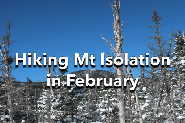
Mt Isolation is one of the most remote White Mountain 4000 footers and makes for a long day in winter conditions. The best winter route starts from the Rocky Branch Trailhead off Rt 16 south of Pinkham Notch but still requires several stream crossings which can be problematic in winter if they’re not bridged by ice. Some of these can be avoided by bushwhacking around them, something that’s perfectly acceptable by Leave No Trace Doctrine when the ground is covered by several feet of snow and its ok to hike off-trail, as long as you don’t mark the route with flagging, blazing, or by cutting branches.
If you don’t know how to navigate off-trail, I’d advise following the normal trails out to Isolation: it’s very easy to get lost and the consequences can be dire in winter. The bushwhacks only cut off about 2 miles of hiking and the risk/reward ratio isn’t that favorable if you’re unsure of the off-trail routes

While we were able to bypass most of the stream crossings on this trip, we were not able to dodge the single-digit temperature at the trailhead or the foot of fresh snow that had fallen the day before. Luckily it was very dry powdery snow, so it wasn’t as difficult to hike through, although it made climbing slopes very slippery. Otherwise, the winds were quite low and we were treated to a brilliant sunny day with a vibrant blue sky, called a “bluebird day” in the Whites.

The hardest part of this hike for me is always the initial climb from the trailhead up to height-of-land on the Rocky Branch Trail. It’s a relentless climb up 1950′ of elevation in 2.8 miles with no chance for a warm-up after leaving the trailhead. The rest of the hike is much more gradual and easy.

After the initial climb, we planned to hike the Engine Hill Bushwhack which is a popular off-trail route that people hike to avoid several stream crossings along the Isolation Trail which are often not bridged in winter. There isn’t one well-defined path through the forest and over the boggy/wet terrain though, which is why you want to have some kind of directional aid to find your way. When we arrived at the traditional start point for the bushwhack, it wasn’t broken out, and being lazy, we decided to skip it is and take a shorter cutoff further down the trail.

The lower bushwhack was broken out, so we followed it a short distance until it joined back up with the Isolation Trail, bypassing the potentially problematic stream crossings. We’d had a major thaw the previous week, so there was a good chance that these crossings were no longer bridged with ice. In fact, most of the winter stream crossings throughout that National Forest had been swept aside by high water during the melt-off, vastly complicating winter ascents.

We followed the Isolation Trail to the start of another bushwhack route, called the Iso Express, which has a narrow stream crossing over the Rocky Branch River. That was rock hoppable, although not fully bridged with ice. We crossed without incident and found that the Iso Express route was also not broken out, although there were sections where you could discern a depression in the snow, where it had been broken out previously. My friend Karen and I both had GPS tracks of the route, maps, compass, etc and we’ve hiked it before, so we had a pretty good idea about where to go. We still came in a little high, but course-corrected and met back up with the Davis Path shortly before the Isolation summit.

After wolfing down some food and hot tea, we summited Isolation and took in the views. We were bundled up in our hard shells, but the wind was still quite manageable. We had a great view of Mt Eisenhower, Mt Monroe, Mt Washington, and Boot Spur and a head-on view of the Oakes Gulf headwall, which is a glacial cirque similar to Tuckerman Ravine. We could even see the Baldfaces all the way on the Maine-New Hampshire border in Evans Notch.
From there, it was a fast-paced snowshoe back across the ground we’d covered earlier in the day. While it was easier going back, it was still another 6 miles out to the trailhead. I’ll just add that the second hardest portion of this hike is the final 2.8 miles when you descend the Rocky Branch Trail from height-of-land back down to the trailhead. You really begin to appreciate what a long and arduous segment of trail that is when you descend its steep slopes at the end of the day.
Total distance: 12 miles w/3400′ of elevation gain.
I fell through on one of those stream crossings last year and will always take the bushwack now in winter. It was easy enough to find at the height of land after I didn’t need it! ;-) I’d think the USFS would be a little more receptive to a permanent trail if they tried those stream crossings in winter themselves!