Maps
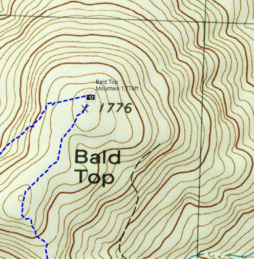
The Rivendell Trail stretches 36 miles form Flagpole Hill in Vershire, VT to the top of Mt. Cube in Orford, VT. There are many ways to access maps of the trail

Online Maps
Connect to caltopo.com to view and/or print high resolution custom topographic maps.

Purchase maps
Good news! Cross Rivendell Trail water resistant pocket trail maps are back in print! Currently, you can find them at Chapman's Store and the Lunch Box in Fairlee, Crossroads Farmstand in Post Mills, and the Montshire Museum and Norwich Bookstore in Norwich. We're working on distributing them now, so look for them in other local shops soon!