Free 4000 Footer Guidebook
-

Backpacking in the White Mountains: A Quick and Dirty Guide
The White Mountain National Forest is located about 2 and 1/2 hours north of Boston, 6 hours north of New…
Read More » -
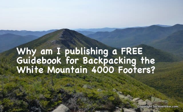
Why Am I Publishing a Free Backpacking Guidebook for the White Mountain 4000 Footers?
I’m currently publishing a FREE guidebook for Backpacking the White Mountain 4000 footers in New Hampshire in serialized form on…
Read More » -
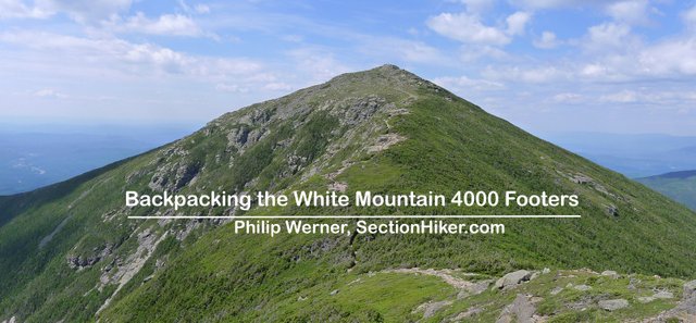
Backpacking the White Mountain 4000 Footers: Free Guidebook Announcement
A funny thing happened to me when I was section hiking the Appalachian Trail through New Hampshire’s White Mountain National…
Read More »


