Navigation and Trip Planning
-

How to Interpret Satellite Imagery for Backcountry Navigation using Hillmap.com
Satellite imagery is a powerful source of information for planning backcountry routes but it takes practice to interpret what you’re…
Read More » -

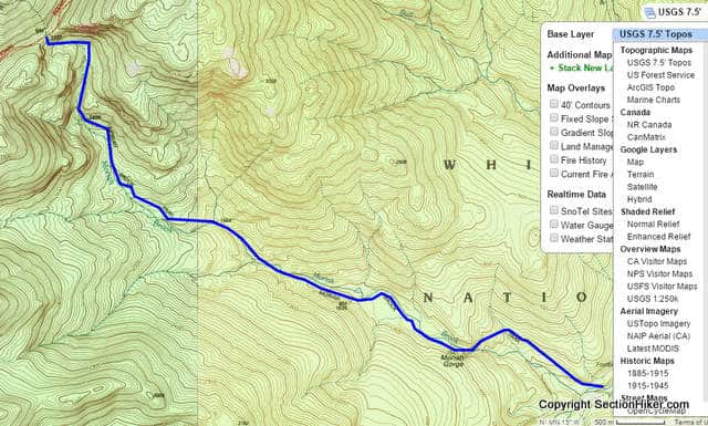
How to Plan an Off-Trail Hike with Caltopo
Off Trail Hiking exercises your mind and body differently than hiking on trails that others have defined and built for…
Read More » -

Hiking Navigation Gear List
I carry a variety of navigation tools and devices on my hikes and backpacking trips because I’ve never found once that’s…
Read More » -

Backcountry Navigation with Incomplete or Out-of-Date Maps
It's important to understand the limitations of incomplete or out-of-date maps for backcountry navigation since so many mapping applications, GPS…
Read More » -


Shakedown Hikes Aren’t Just for Backpacking Beginners
Shakedown hikes and backpacking trips are the best way you can train yourself to become a confident backpacker or day hiker.…
Read More » -


Planning a Hike: Sunrise and Sunset Times
No matter how fast you hike, the distance you can walk in a day is largely a function of the…
Read More » -

Distance Discrepancies Between Digital Mapping Tools, Paper Maps, and Guidebooks
Have you ever noticed that the distances computed by digital mapping tools are substantially different from paper maps and guidebooks…
Read More » -


The Digital Map Conundrum
Have you ever noticed how incomplete and out of date digital maps are when it comes to hiking trails? At…
Read More » -


What is Height of Land?
The navigation term Height of Land is a phrase you’ll often encounter when reading hiking trip reports, trail descriptions, or…
Read More » -

Aiming Off – A Compass Navigation Technique
Aiming off is a cross-country navigation technique for finding a destination like a shelter or a landmark that is located…
Read More » -

Bushwhacking in Northern New Hampshire – Tips for Navigating Off Road and Off Trail
“Better bring your passport,” said Kris, “in case we get stopped by the border patrol.” Good idea. We were headed…
Read More » -

Topographic Maps and Route Visualization
Some people can read a topographic map and visualize what the landscape should look like based on the shape of…
Read More » -


A Taste for Bushwhacking by Steve Smith
As I remember it, my first bushwhack in the New England woods was a fiasco. I was working at the…
Read More » -


Navigating Without a Compass
Most people don’t know how to use a compass to navigate and while it’s a very useful skill to have,…
Read More »


